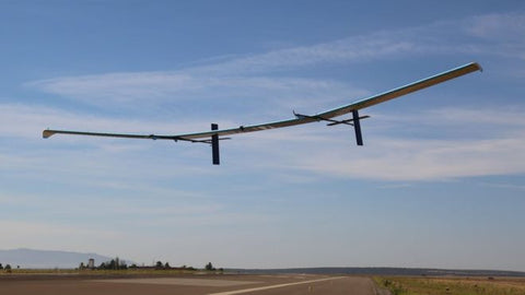
The Ordnance Survey is an organisation that has been producing maps of the UK since 1791 and their headquarters is based near us in Southampton. They recently announced plans to use a solar-powered drone to collect images and data from an altitude of 67,000ft. The drove would be able to stay in flight for up to 90 days before needing to land. They hope this will allow them to create more detailed maps of remote areas at a far lower cost. You can read more about the drone here.